I
finally had my first day of making the kind of progress I could expect on my
own. Finally one day when engine trouble, getting towed, weather, or the
military hadn't hampered my progress or messed with the statistics. I had
been for weeks, and even months trying to gauge how far I'd be able to travel
in a given day, and after more than 100 miles from New Bern- I had a number to
compare to; 36.4 miles. Mostly under
sail power on the Intra-Coastal Waterway.
It
was 115 miles back to New Bern, but keep in mind we had done roughly 80 miles
of sailing on the ocean (that doesn’t count), and I had been turned back by the
military, so it had taken over 200 miles of travel to get half that
distance. Now I had an engine that had
proved itself, and the wind seemed to be blowing in the right direction to
enable sailing on the ICW, which was crucial because I couldn’t afford to spend
money on gas.
It
was a mere 30 miles to the Cape Fear River, which marked my goal destination of
Wilmington. It would be another 50 miles
to the South Carolina border. The race
was against my bank account- I needed to get to Beaufort SC; another 280 miles
away. That put me nine days away from
free dockage using my new benchmark. There
was work that needed to be done too- all I needed was an internet connection to
do it.
Now
I needed to make use of the favorable winds and get as far down the coast as I
could. After leaving Sloop Point I
figured I could make the Cape Fear River in one day- and finally be where
Antonio and I had planned to arrive when we set out on the ocean and failed.
Thursday
March 8th:
 |
| Upon departure I was able to fill the sails, although it was a tricky headwind |
After
having a pleasant morning talking to Ron, and securing my new anchor I bumped
my way out of Marker 90 Marina just before noon. I turned South on the ICW into wind
conditions barely able to support raising the sails. It was a beautiful morning and I was able to
take my shirt off to get some sun right off the bat.
I
played with the dolphins and basically took in North Carolina as I sailed along
a necklace of small islands that bordered the ICW.
 |
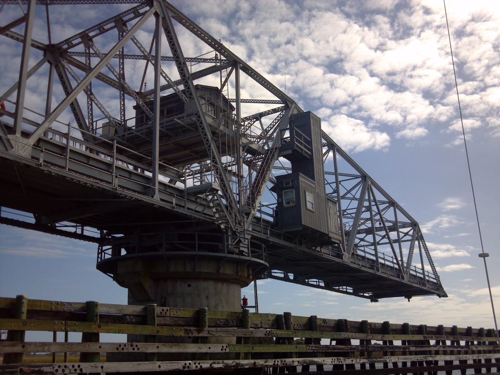
| Figure Eight Island Swing Bridge |
Things
were beginning to look more familiar as I got closer to Wilmington. Marker 90 Marina had been essentially the
beginning of the “Home Stretch”. I had
spent a lot of time in this area growing up, and the barrier islands were
looking more and more familiar as I got farther south.
I
passed through the Figure 8 Island Swing Bridge, and got to enjoy the sight a
little more than the Surf City Swing Bridge the day before (which I had been
rushing to get through).
 |
| I think this truss design (used in most of the retractable bridges I passed) is the most entertaining and creative way of getting a road out of my way |
I
was weighing the options out in front of me; I could head up to a cheaper
marina further up the Cape Fear River and add about 20 miles to my trip, or I
could forgo heading towards Wilmington-proper (which isn’t actually on the
coast but inland up the river). I needed
to get online and get some work done- so as I approached Carolina Beach and
took note of the time and the tides I could tell I would have to navigate the
Cape Fear River in the dark if I was going to make it to the cheaper
marina. Instead, I chose to play it safe
and stop at the closer marina that wasn’t so out of the way.
 |
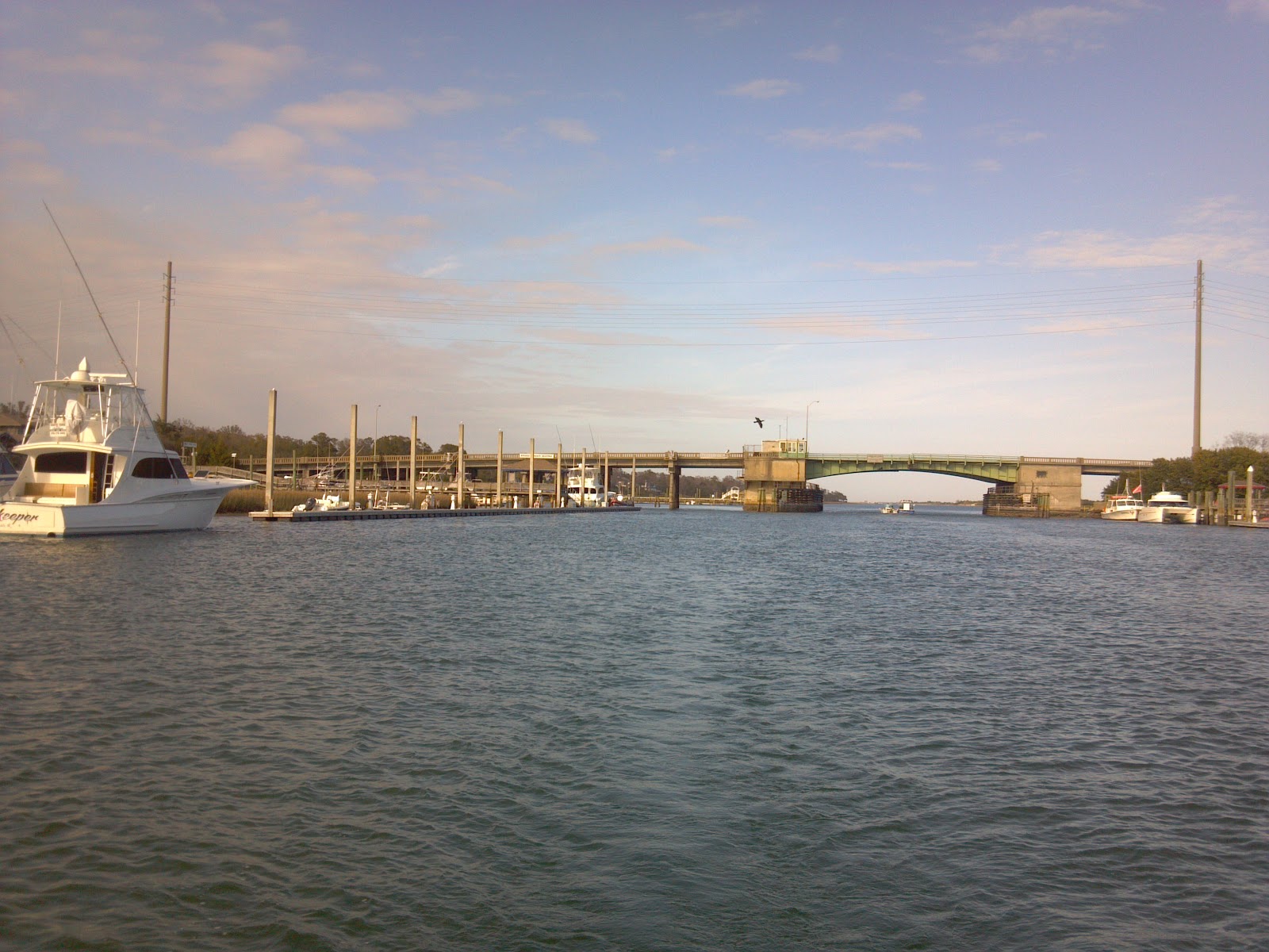
| The Wrightsville Beach Bascule Bridge |
But not before passing through the Wrightsville Beach Bascule Bridge. This bridge is something of an icon to me personally. It is the bridge that leads to the beach I’ve spent the most time out of any in my life. I had crossed over the bridge an innumerable amount, but had never passed underneath.
In middle school I swam off the beach as a hurricane approached. When my dog was a puppy, this was the first beach she’d ever been on, and ran away in excitement at the smells carried on the wind. With so many memories it was somewhat a triumph to see this familiar sight from a completely new perspective.
 |
| A most familiar bridge to me, seen from a new perspective |
After
passing the Wrightsville Beach Bascule I felt the urge to hurry and beat dusk
to Joyner Marina, which was still 12 miles away, a distance in which anything
can happen. When I arrived it had just
gotten dark, and the current was very strong as I approached the fuel dock at
the marina. The current was strong
enough that in trying to dock I was able to secure the boat, but lost my hook
(which is a pretty crucial tool for docking, especially when solo). I had to push off, retrieve the hook (which
floats), and re-dock… feeling somewhat awkward.
 |
| The motor-yacht opulence of Wrightsville Beach |
 |
| Not where I was going to spend my coin... |
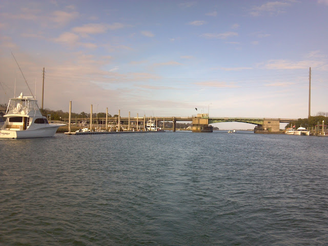
Having gotten to Wilmington, and having found an internet connection, all that was left was to take a look at the entrance to a short and narrow canal that would lead me to the Cape Fear River. The entrance to the canal is directly below a fixed bridge. At night the entrance looked like a mouth big enough to eat boats. I was glad to pause and delay what I considered to be the next stage of the voyage. There was nothing familiar to me anywhere South of here until Charleston SC, which still isn’t that familiar.
But
I wouldn’t need to be worried about the all consuming mouth for more than 24
hours, after which I would be rested, and have a day’s work under my belt…
Saturday
March 10th:
I
started out early. While I had picked
out a few potential stopping points in the vicinity of the South Carolina
border (using my new benchmark), I wasn’t sure where I would stop, how far I
would get, or if the Cape Fear River might have something unexpected in store.
 |
| The gaping maw that would lead me to the Cape Fear River, appropriately marked by the Carolina Beach fixed bridge (or highway 421 if you want to get technical) |
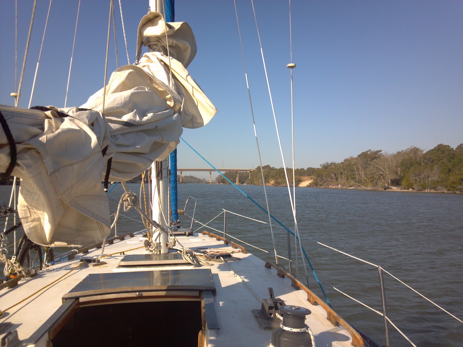
A
short jump through the canal and I was off- today was my day to reach South
Carolina- the Cape Fear river was before me- huge….!
It
felt good to be on somewhat open waters for the first time since Antonio and I
returned battered from our adventure at sea.
The wind was strong and constant.
I finally got to cruise the way it’s meant to be done, in great
conditions.
 |
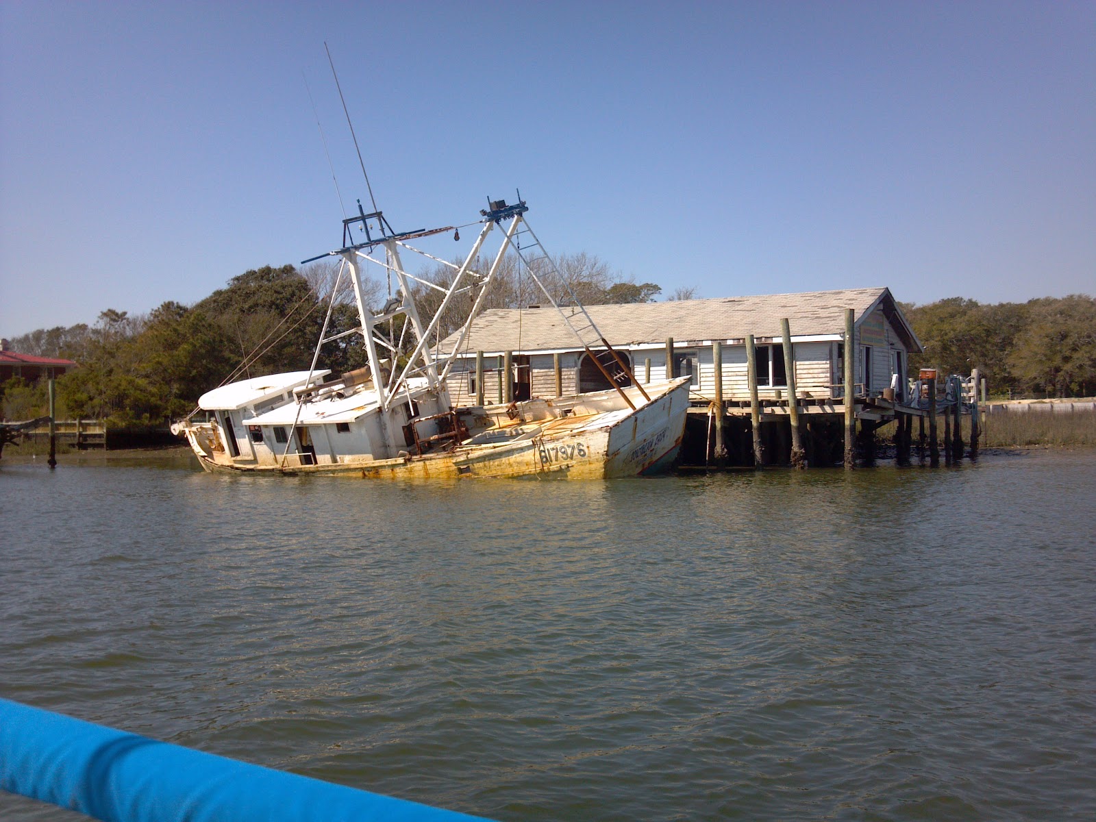
| A snakk but cute little civilization on the South banks of the Cape Fear River, the last I would see before entering SC |
Over
all too soon, I had run with it for 12 miles and in no time I picked up the ICW
on the other side. The wind was still at
as usable angle, so it was good going that morning, but the wind was straying
farther and farther West throughout the day and at various points I struggled
to keep moving into the wind on the narrow ribbon of water I had available.
 |
| This picture gives decent description to the sliver of North Carolina I had left to travel that day |
The
farewell to North Carolina was a mostly rural one. The environment was mostly marshland with several shallow
passages out to the sea. I passed many
small private fishing boats and even saw one particularly energetic young man
swimming (more or less) in the shallows here:
 |
| Lines of hundreds of mobile homes, a perfect reminder of North Carolina's economic status (this was right next to prime real estate) |
 |
| The Sunset Beach bridge, a mere 3 miles from the border, the last great sight my home state had to offer |
 |
| The general environs |
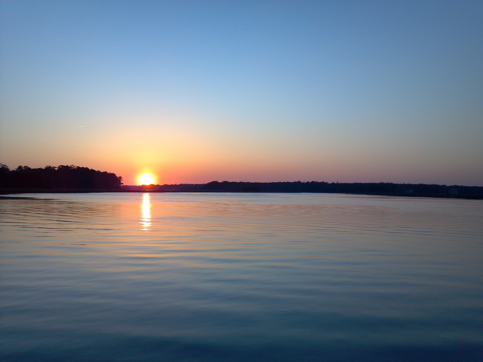
 |
| My goodnight view |
I
anchored just across the border in SC.
It was my first time anchoring overnight alone, and with a new anchor-
but I was confident that with the calm conditions and my two anchors I didn’t
have much to worry about. Consolations
aside I was on edge. But another
sailboat of similar size anchored in the same branch I did which gave me some
relief. Due to the placid conditions I
knew there was nothing to worry about and slept well, but couldn’t help but
wake several times throughout the night and pop my head out the hatch to
confirm I hadn’t drifted onto shore.
The view upon anchoring
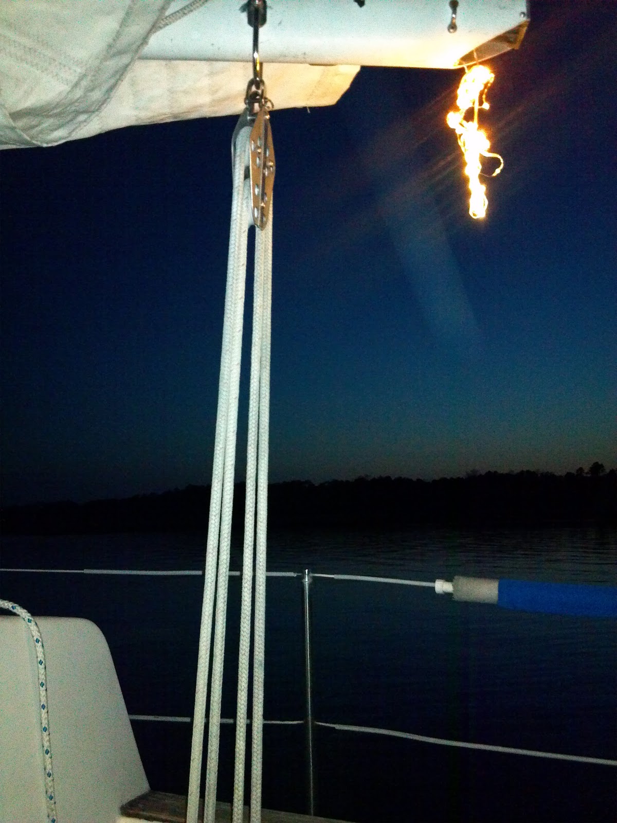
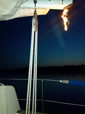 |
| My improvised anchor light... |
I
woke early the next morning with South Carolina, and entirely unfamiliar
waters/geography ahead.
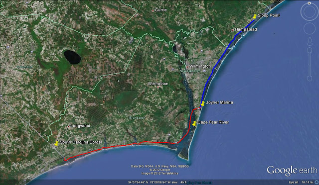 |
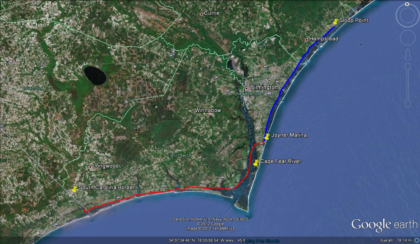
| This entry's portion of the trip- two days of travel |